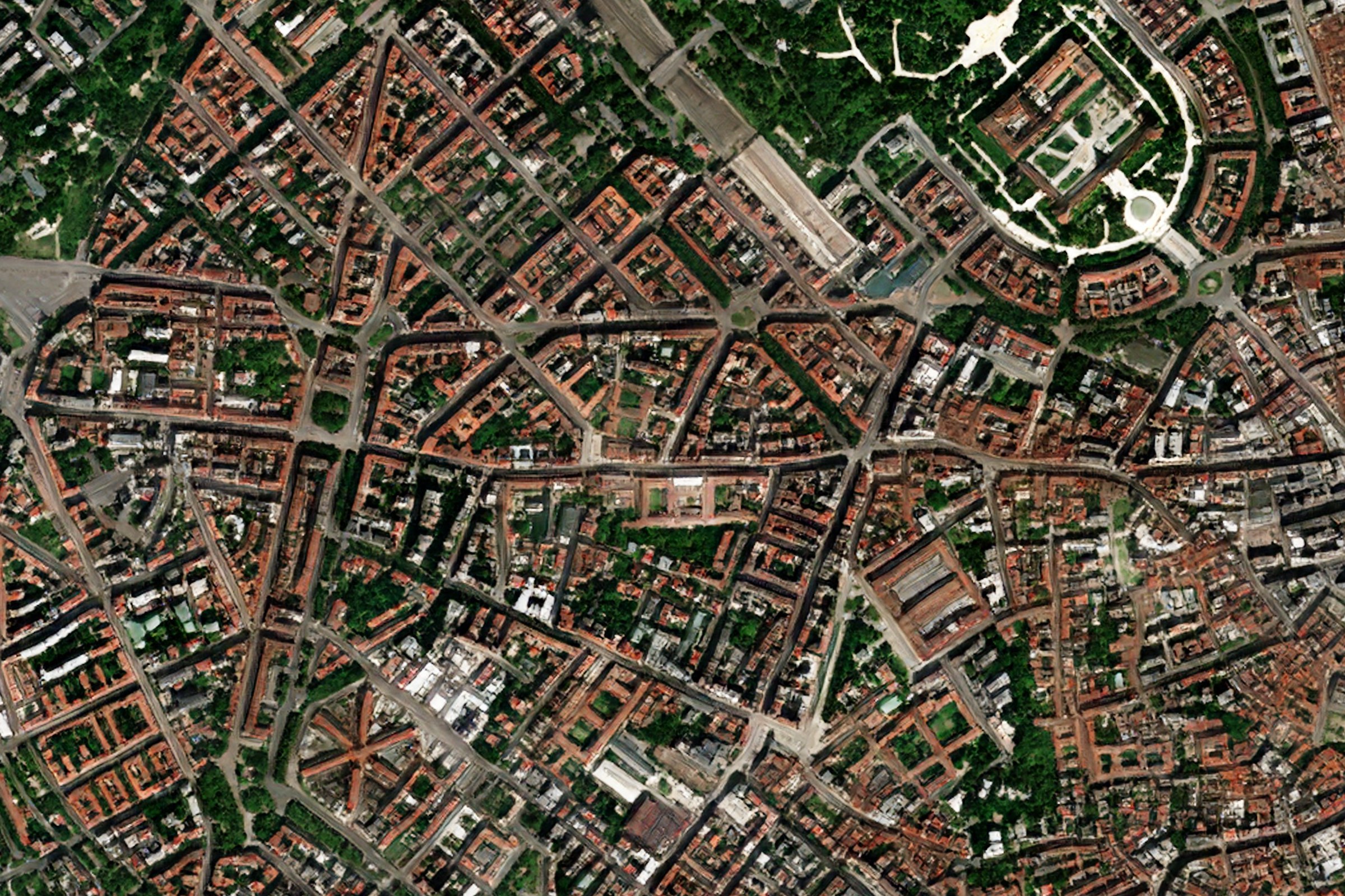
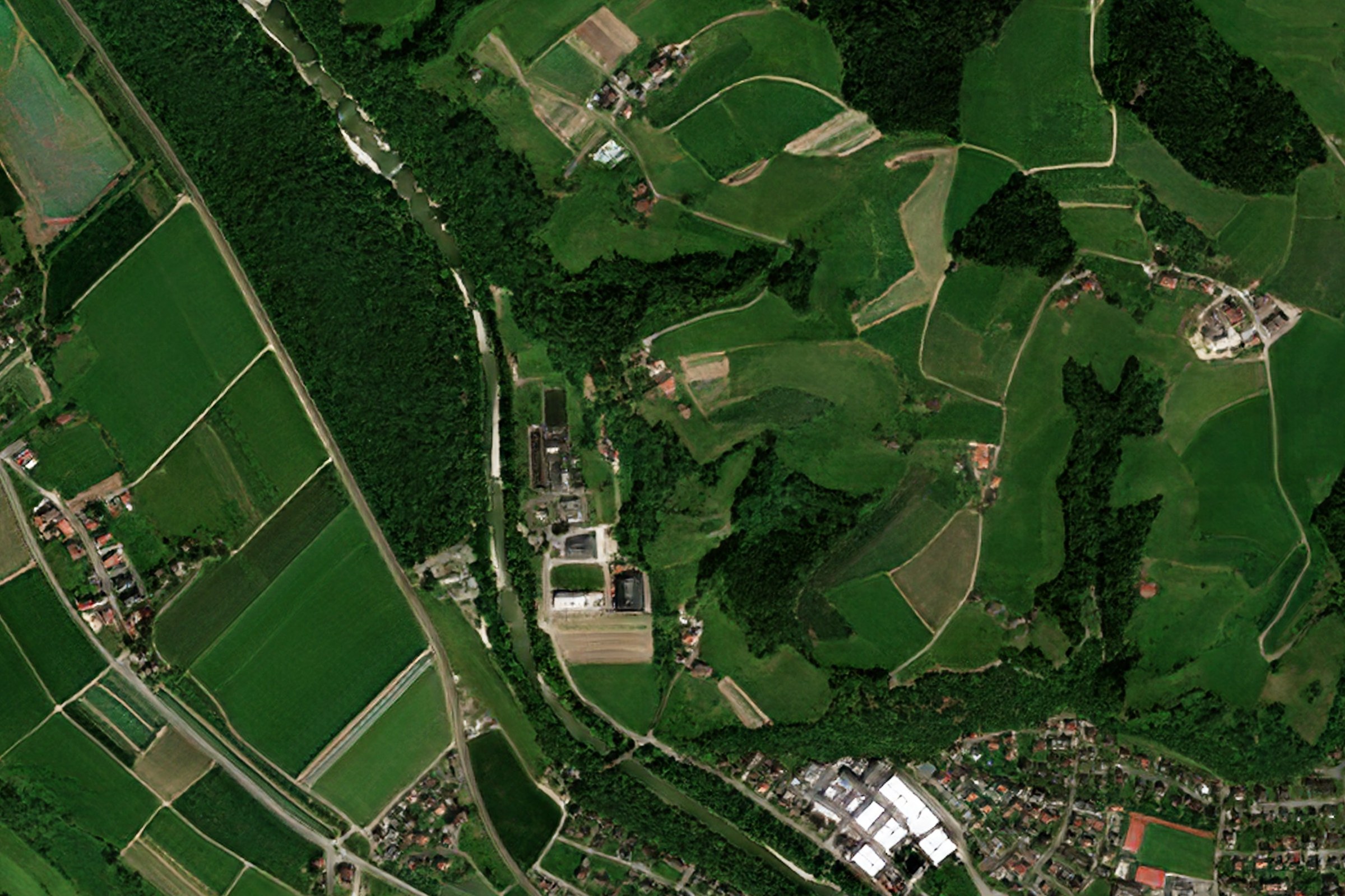
EarthToDate Optical Basemap allow users worldwide fresh cloudless imagery with fast access supporting a large number of users.
EarthToDate Optical Basemaps are available at highly detailed 1m.

Optical Basemap
A streaming tile server from cloud or deployed on the client facility with periodical updates; quarterly, monthly and live.
EarthToDate Optical Basemap allow users worldwide fresh cloudless imagery with fast access supporting a large number of users.
EarthToDate Optical Basemaps are available at highly detailed 1m.
The basemaps are built with RGB and NIR bands, with a range of views:
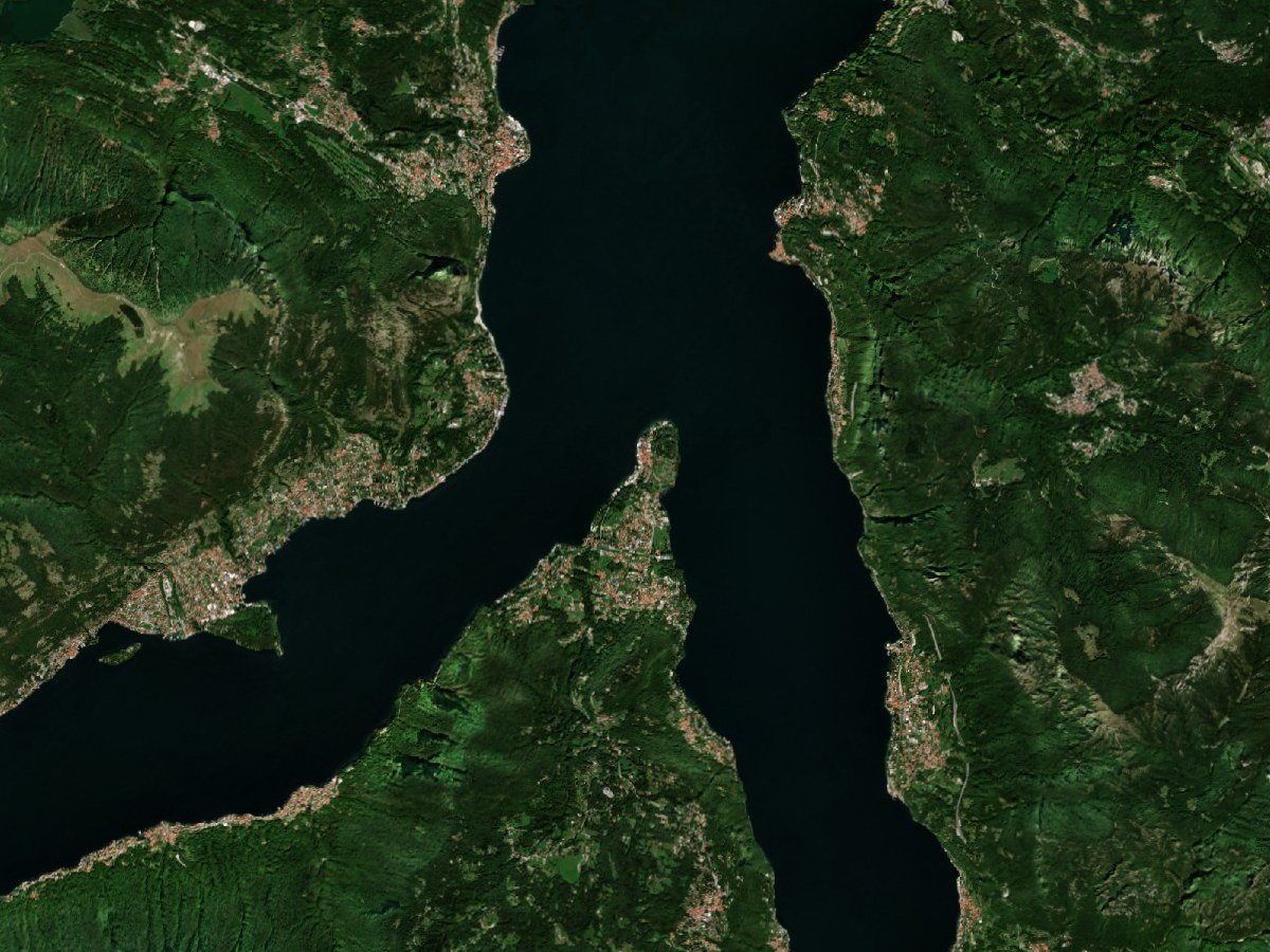
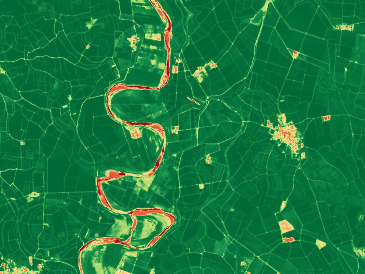
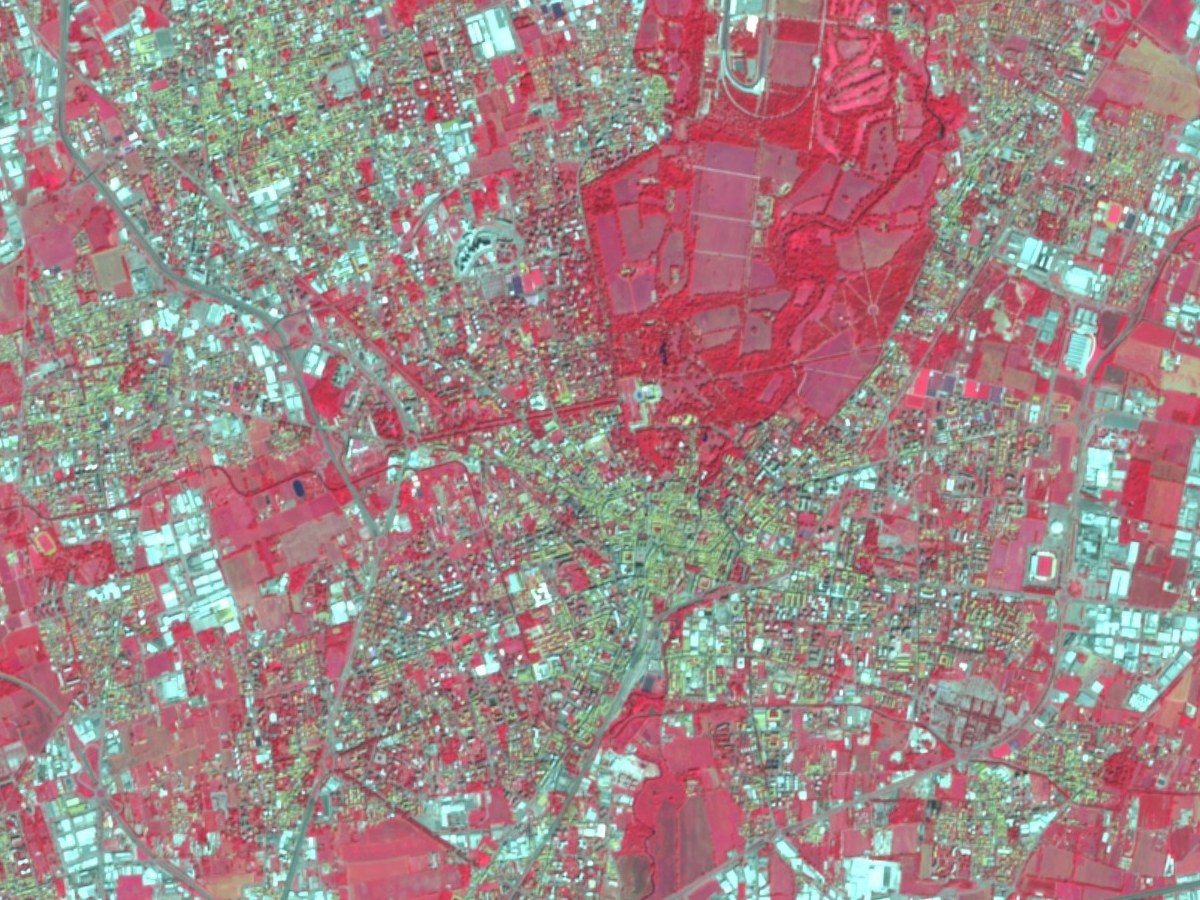
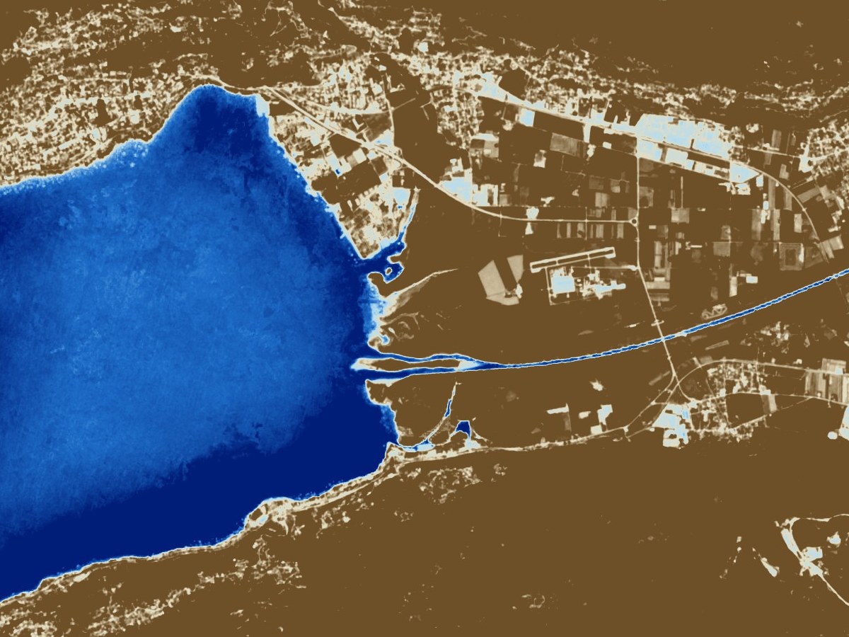
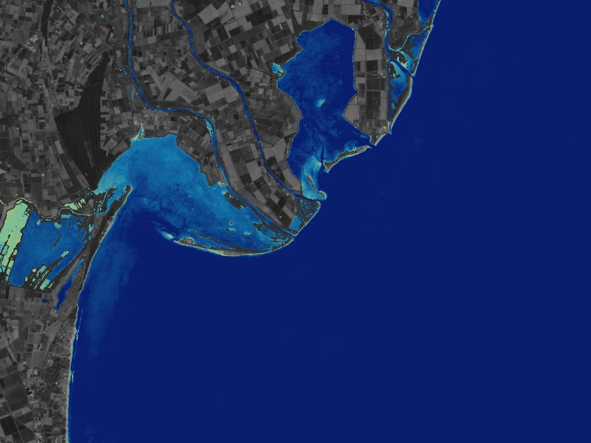
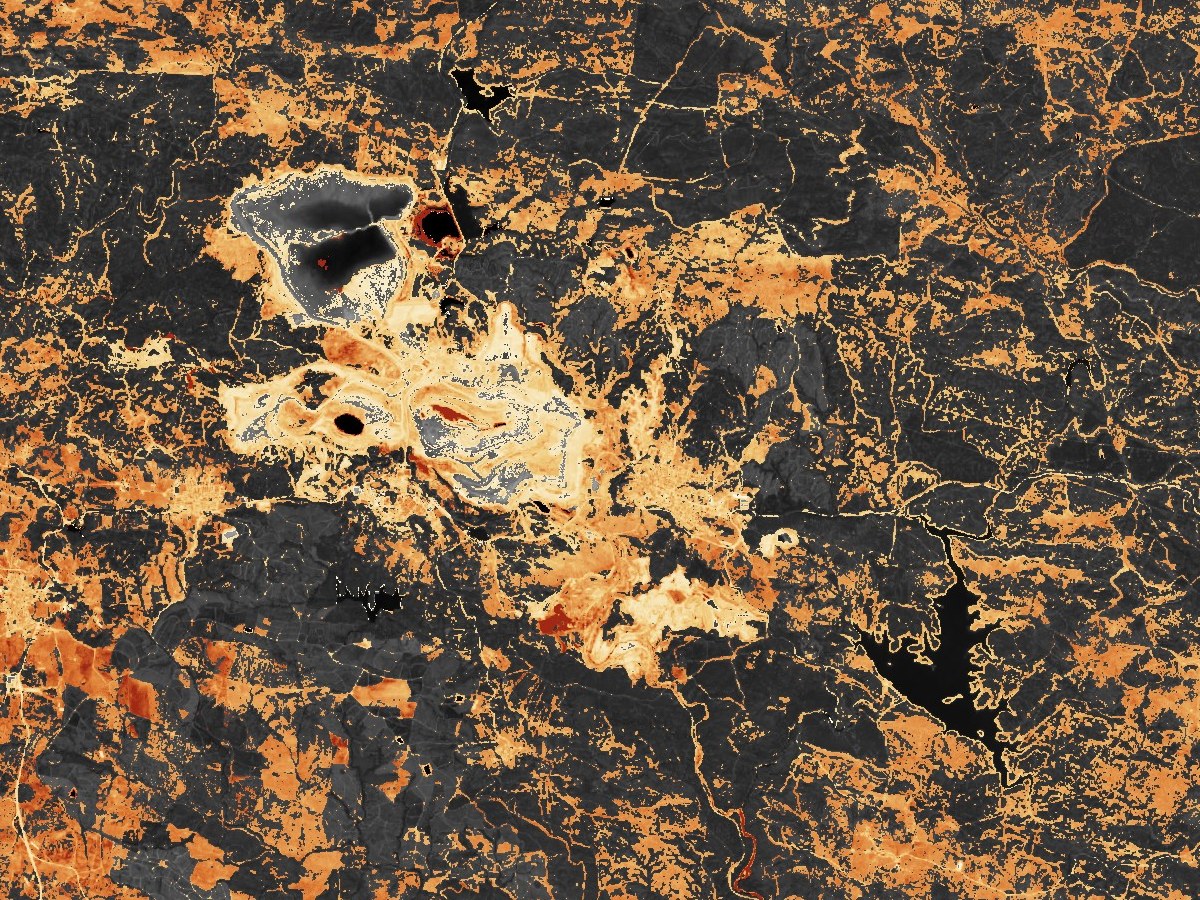
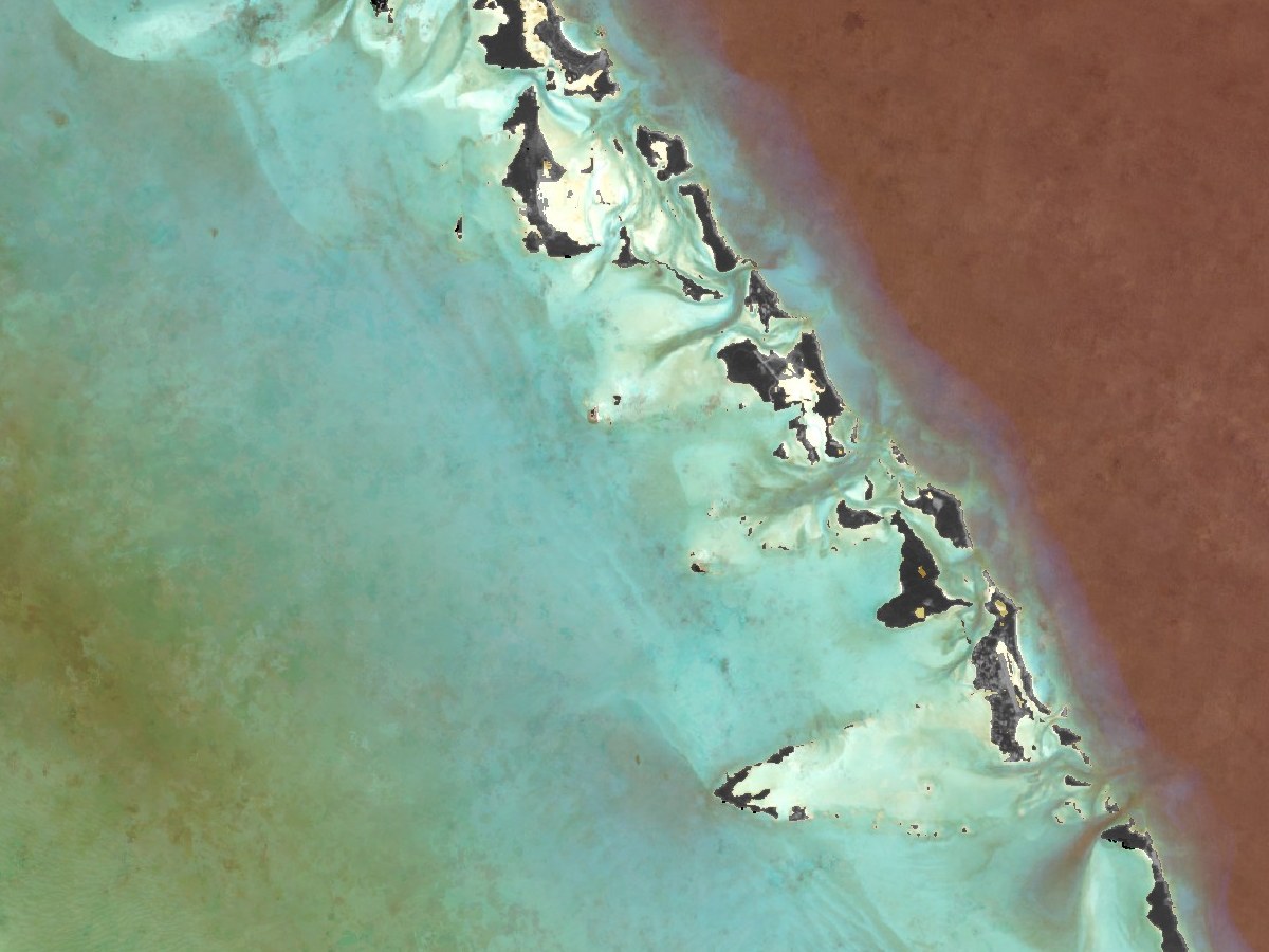
The basemaps are available as a streaming tile server from cloud or deployed on the client facility with periodical updates.
The optical basemaps are available as a quarterly, monthly and live applying all available updates continuously. Quarterly updates for the last 10 years are available as well.
Sentinel-2's two satellites revisit every place on Earth about every five days, which is what keeps the basemap fresh. [2]